Mustang Geothermal acquires airborne geophysical survey data in Nevada
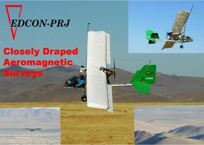
Development company Mustang Geothermal Corp. announces contracting with EDCON-PRJ Inc. of Lakewood, CO to acquire a total of 1045 line kilometers of high-resolution aeromagnetic data over geothermal properties of interest in the Great Basin region of Nevada.
In a release, geothermal development company “Mustang Geothermal Corp. announced that it has contracted with EDCON-PRJ Inc. of Lakewood, CO to acquire a total of 1045 line kilometers of high-resolution aeromagnetic data over geothermal properties of interest in the Great Basin region of Nevada, USA.
The intent of the Company is to use high-resolution geophysical data in mapping of the fault structures that provide conducts necessary for the circulation of geothermal fluids and definition of permissive areas for the formation of geothermal reservoirs.
The great body of research and exploration in the geology and geothermal potential of the Great Basin, conducted since 1970’s had established that the success of geothermal systems in energy production is largely determined by the existence of a structural framework (i.e. faults) and suitable reservoirs (i.e. grabens, permissive rocks) that could localize economic-grade geothermal waters.
The geophysical surveying has been used for over 50 years to aid in mapping of the geological structures, features and rock units present underneath the surface cover. The continued improvement of geophysical survey techniques, instrumentation and data-processing/visualization techniques led to a better discrimination of hidden geological features and modeling of subsurface elements, which are of great importance to geothermal exploration.
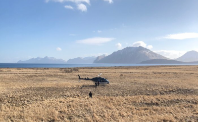
The aeromagnetic survey commissioned by the Company is flown at a 200m line spacing and 150m nominal terrain clearance, and is considered to be an adequate method for the described stage of exploration activity. The acquired magnetic data will be sampled at 0.1s increments to a resolution of 0.01 nT and corrected with a base magnetometer.
The Company’s technical staff considers geophysical surveying of select targets a significant step in evaluation of the geothermal potential and cue-in for other exploration activities planned to take place in the near future.”
Source: Company release via PR Newswire
