
French-Spanish PIXIL Project announces completion

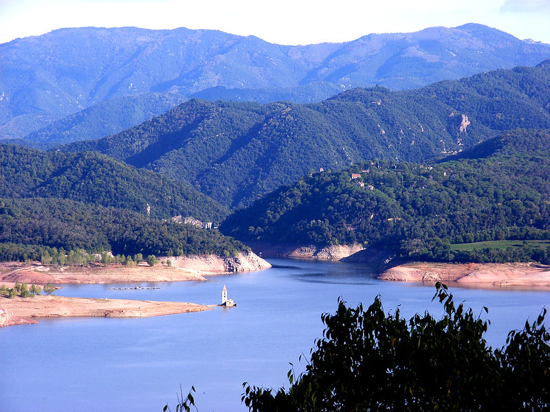
The new geophysical inversion and modeling tools developed by the PIXIL Project have been applied to a conceptual model of the Garriga geothermal anomaly in Spain.
After two and a half years of research, the PIXIL (Pyrenees Imaging eXperience: an InternationaL network) project comes to an end. PIXIL is now the first cross-border network (Spain-Andorra-France) for subsurface characterization through “geophysical imaging” in the field of geothermal energy. The project was supported by five Spanish and French partners through different research areas – Universitat de Barcelona, Basque Center for Applied Mathematics (BCAM), Pôle Avenia, INRIA, and RealTimeSeismic – as was coordinated by the Barcelona Supercomputing Center.
We first reported on the PIXIL Project back in 2020, shortly after the project commenced. It was envisioned as a transnational and multidisciplinary scientific and technological cooperation that aims to develop the most advanced tools to analyze the Earth’s subsurface, with a special focus on fostering the uptake of geothermal energy in the region. “The project has been co-financed 65% by the European Regional Development Fund (ERDF) through the Interreg VA Spain-France-Andorra Program.
“The PIXIL project has managed to interconnect the academic and industrial sectors dedicated to geothermal energy. For two and a half years we have been able to refine technologies and perform application demonstrations that would not otherwise have been possible.” said Josep de la Puente, Geoscience Applications Group Manager of the Barcelona Supercomputing Center and coordinator of PIXIL.
“In addition, through work sessions open to the geothermal community, we have been able to approach the problems of this technology with a great future in our region. We hope to have contributed our grain of sand so that geothermal energy is a complementary technology in the revolution towards clean energies of local origin”, added de la Puente.
Design of imaging algorithms for the characterization of geothermal reservoirs
PIXIL’s research in the area of ??imaging algorithm design has developed a new high-order parallel modeling tool to simulate 3D magnetotelluric (MT) geophysical experiments. Simultaneously, researchers have developed deep neural networks (DNNs) aimed at solving the so-called inverse problem – how to determine the properties of the subsurface from recorded measurements. These DNNs have also been applied to the design of better well logging instruments.
Furthermore, research has been carried out in collaboration with the industrial partner of the PIXIL project, RealTimeSeismic, to build a Full Wave Inversion (FWI)-based tool suitable for surface waves. The goal is to apply it to data acquired by RealTimeSeismic in a near-surface seismic survey.
Implementation in supercomputers for the geothermal sector
While designing innovative algorithms is critical to the effectiveness of imaging technologies, it is their computational implementation that gives the concept applicability. Thus, PIXIL has also focused on implementing the methodological advances developed and transforming them into fast, accurate, and reliable computer programs.
The result of this effort has been the latest version of PETGEM, a parallel code that focuses on detecting and characterizing geothermal reservoirs (and other valuable resources) using high-performance computing and electromagnetic methods. Thanks to PIXIL’s research, PETGEM has been shown to be a scalable, flexible, accurate and efficient software for solving realistic test cases in both marine and terrestrial contexts. In addition, PETGEM has been selected for the first pre-evaluation study of the Lab-to-Market (L2M) program of the R+D+I Energy for Society Network (XRE4S) in which the technology and the opportunities it offers are evaluated to the market.
Applications of technologies in geothermal
An essential aspect of the PIXIL project has been the ability to demonstrate the improvement of the technologies developed with real applications and experiments to quantify the results obtained. Specifically, a reference model such as the La Garriga geothermal anomaly, located in the Catalan region of Vallés Oriental, has been investigated and reinterpreted to renew the existing conceptual model.
Thus, the new conceptual model integrates the geophysical results (obtained from electromagnetic, seismic, gravimetric and temperature data) with the geochemical, geological and hydrogeological ones. In this way it has been possible to delve into the mechanisms that control many of the geothermal systems present in the Pyrenees.
This case study has served to inspire the models and tests of the new geophysical inversion tools generated in the framework of the PIXIL project. In addition, a collection of models of increasing complexity, inspired by a fault-controlled geothermal reservoir, has also been established to test some of the numerical tools developed by the project partners.
Source: PIXIL Project