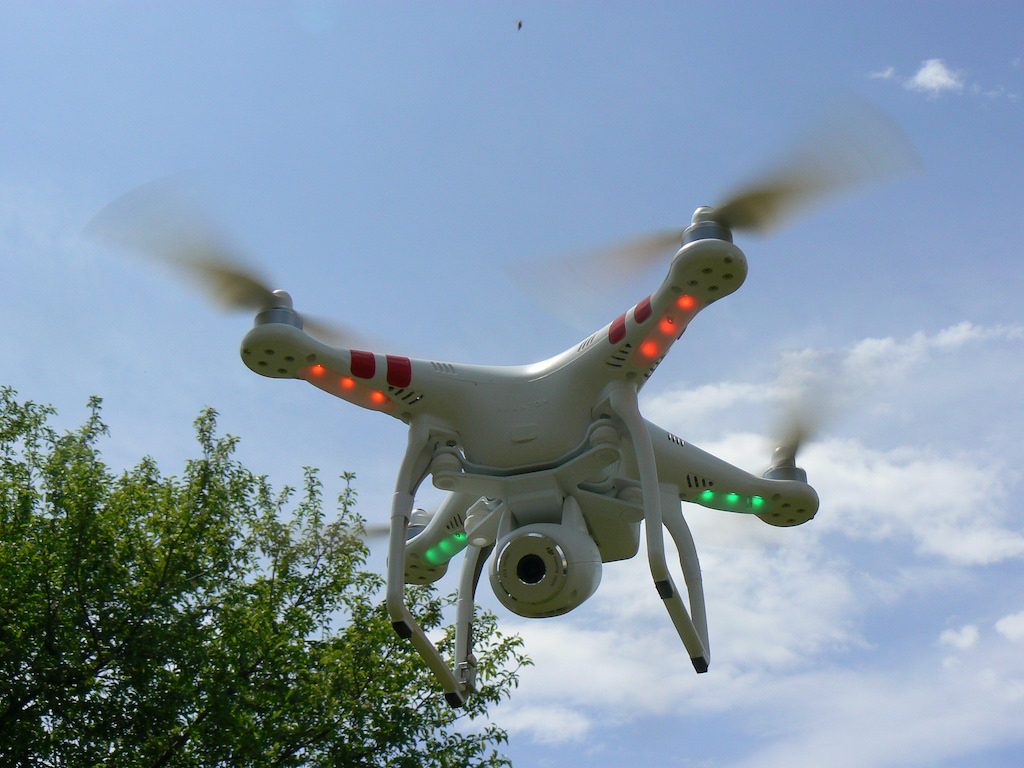
How drones with heat cameras can help identify geothermal resources

A new study, recently published by researchers of the University of Auckland, shows how a drone equipped with a heat camera can be used to identify geothermal resources in inaccessible or dangerous terrain.
In a recently published article in the Journal of Volcanology and Geothermal Research, the authors look into how drones with heatcams (heat cameras) can help to reveal geothermal “secrets”.
The study shows how a simple drone kitted with a heat camera can take groundbreaking images. In the study, the researchers “created a mosaic of the Waikite geothermal area using nearly 6000 thermal images captured by just one drone – which they believe is the largest such image ever published – and even managed to remotely record the exact temperature of an inaccessible lake.”
“Drones are now routinely used for collecting aerial imagery and creating digital elevation models (DEM). Lightweight thermal sensors provide another payload option for generation of very high-resolution aerial thermal orthophotos. This technology allows for the rapid and safe survey of thermal areas, often present in inaccessible or dangerous terrain. Here we present a 2.2 km2 georeferenced, temperature-calibrated thermal orthophoto of the Waikite geothermal area, New Zealand.”
The research was published by researchers at the University of Auckland in New Zealand.
Source: Scimex