
Job – GIS Expert, geothermal – UNEP, Nairobi, Kenya

UNEP in Nairobi, Kenya is seeking to hire a Geographic Information Systems (GIS) expert on a 6-month assignment and work on the Geothermal Atlas of Africa.
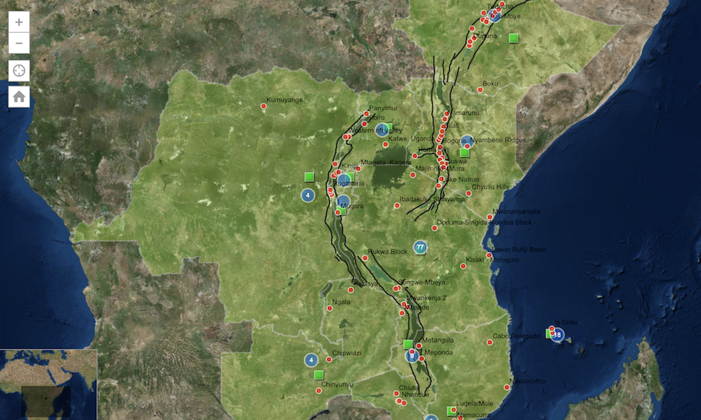
The United Nations Environment Programme (UNEP) in Nairobi, Kenya is seeking to hire a Geographical Information System (GIS) Expert for work on – among others – the Geothermal Atlas of Africa. Under the UNEP-African Rift Geothermal (ARGeo) project, a lot of work has been done to support geothermal development in Africa. Check out the current AGID Web GIS.
Result of Service
- Relevant Energy and other natural capital -related data and information from African countries indicated in the Energy projects and targeted assessments are collected and displayed using the geo-referenced digital African Map.
- Geothermal Atlas of Africa, and other thematic assessment atlases developed;
- Layout of the Technical Guidebook for Direct use Geothermal Development in Africa. This includes Low to medium temperature geothermal systems are collected and recorded in the WEB GIS database;
- GIS-based Renewable Energy and other relevant natural capital databases enhanced;
- Outreach and informational materials for the ARGeo-C9 and other spatial data infographics designed;
Work Location:Energy Unit/ Africa Office
Expected duration: /strong: 6 months
Duties and Responsibilities
Org. Setting and Reporting
The United Nations Environment Programme (UNEP) is the leading global environmental authority that sets the global environmental agenda, promotes the coherent implementation of the environmental dimension of sustainable development within the United Nations system and serves as an authoritative advocate for the global environment. The post is located in UNEP, Nairobi, Kenya. The consultant will work under the direct supervision of the Head of Energy Unit, UNEP Africa Office. However, the Consultant will also be required to regularly, and may be necessary, liaise with the Africa Regional Coordinator for UNEP’s Environment Under Review sub-programme and will be responsible for the following:
Duties and Responsibilities
- Conduct research, collect relevant data and information from several sources and undertake a geospatial/georeferenced mapping of Africa to develop and publish the Geothermal Atlas of Africa in collaboration with partners from the EU, Africa and other regions;
- Contribute towards the identification and gathering of existing data and intensive co-operation within the UNEP’s internal organs and between African and European partners;
- Illustrating assessed information into the Geothermal Atlas, and other Atlases on science-policy action for Africa;
- Overlay remote sensing images with map layers, where necessary, for publications;
- Suggest potential maps, figures, photos, satellite images, and special illustrative boxes for case studies and geospatial analysis;
- Collect relevant energy and other natural capital-related information and data useful for the African Countries indicated in the existing and new projects (e.g. Population density, Grid availability, Access to electricity, Energy efficiency etc…)
- Contribute to the preparation of outreach and informational materials that will include posters, pamphlets, detailed programmes, and policy briefs;
- Train other involved individuals from partner institutions in data acquisition, processing, and final atlas production.
Qualifications/special skills
Academic Qualifications:
Master’s degree in GIS or Remote Sensing related courses with a background in Earth Sciences.
Experience:
- The consultant must have a minimum of 10 years experience in GIS and Earth Sciences.
- Previous experience using remote sensing and GIS in Renewable Energy applications.
- Experience in communicating impactful results of scientific assessments to policy makers and engaging in effective policy dialogue, including in the Africa context, will be added advantage.
- Skills in using Microsoft office, Adobe Illustrator, Adobe InDesign, and Adobe photo shop.
Language: Fluency in oral and written English is required .
Source: Careers UN