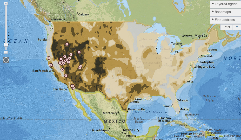
In its new U.S. Energy Mapping System, the U.S. Energy Information Administration provides maps showcasing where in the U.S. renewable energy projects are located. The interesting part is how geographically complimentary these different technologies seem to be.
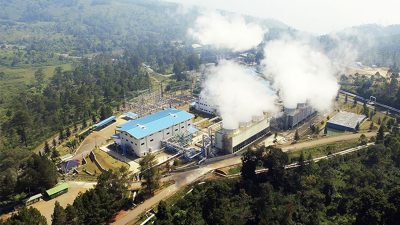
As expected, most of the geothermal potential is close to the west coast of the US. According to the news source, Nevada, California, Utah, New Mexico, western Colorado are all places with large geothermal resources. But nationwide, there are only a handful of geothermal power plants, which in 2012 produced about 15.5 million megawatt hours of electricity, mostly in California, where geothermal accounts for roughly 5 percent of the state’s power generation, according to EIA data.
Geothermal power generation has been slow, according to EIA data, mainly because of the cost and risk involved in building new geothermal power plants, which can take up to eight years longer to complete than wind and solar power generating facilities.
To see a more detailed map with more information on geothermal power plants, not only in the US but also worldwide, please visit ThinkGeoEnergy’s own power plant map.
Source: Climate Central Website