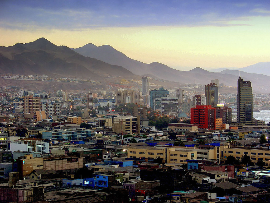
Antofagasta has new geological maps available
The maps and other various geoscientific studies were developed in 2014 by the National Service of Geology and Mining of Chile under the National Plan of Geology.
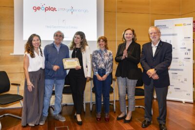
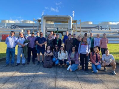
Mining Minister Aurora Williams led this morning in Antofagasta a workshop named “Geological studies in northern Chile: Information for regional development”, unveiling various geoscientific studies developed in 2014 by the National Service of Geology and Mining (SERNAGEOMIN).
Among the maps highlights the progress of the National Plan of Geology, which has completed 70% of its first phase, comprising the collection of information in the area that runs between Arica and La Serena.
“This mapping is a very important contribution to regional development, because citizens, businesses and the government now have more precise information on the mining, energy and hydro assets available in the area. This allows feeding public discussion about the sovereignty of natural resources and the best strategies for economic growth and sustainability, “said Williams minister.
In addition to maps produced by the National Plan of Geology, during 2014 the SERNAGEOMIN generated several papers in the area of ??Applied Geology Society and published research Geology Land Management (GOT) from the city of Antofagasta. The latter included groundwater resources, industrial minerals and rocks and geological heritage.
Regarding volcanic areas, there is a hazard map of Láscar volcano and a geological map and a hazard map of San Pedro volcano. Instrumental monitoring network currently consists of twenty stations in the five most active volcanoes in the region.
All documents mentioned are available for public consultation via the Internet and the Library of the National Service of Geology and Mining, SERNAGEOMIN
Source: Estrategia
