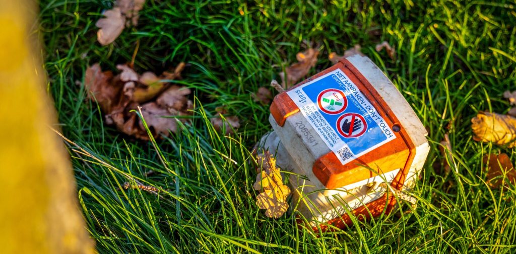
A 2D seismic survey campaign is set to start in the West region of the Netherlands as part of the SCAN program, which aims to explore the Dutch subsurface and identify more opportunities for geothermal energy utilization. The surveys are expected to be completed by the fourth quarter.
The survey will be executed by the SCAN Operations team in collaboration with Smart Seismic Solutions (S3). Part of the survey is funded by a grant from the SCAN program, while another part is funded by GAIA Energy and EBN, with a grant from the Province of North Holland.
Over the coming months, research will be conducted in the West region in the municipalities of Aalsmeer, Almere, Alphen aan den Rijn, Amsterdam, Amstelveen, De Ronde Venen, Diemen, Gooische Meren, Haarlemmermeer, Kaag en Braassem, Landsmeer, Nieuwkoop, Oostzaan, Uithoorn, and Zaanstad.
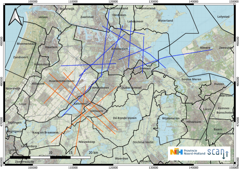
The 2D seismic survey builds upon the data collected from the 3D seismic research done in the Amsterdam Metropolitan Area (MRA) in 2025. While 3D seismics provides a more detailed spatial image of the subsurface, 2D seismics is suitable for collecting additional data over a larger area, thus furthering supplementing and refining existing insights. Both vibroseismic and shot hole seismic methods will be employed during this campaign, similar to the survey done at the MRA. Seismic surveys will also be conducted on the water.
Subsequently, work will commence in the Central area, covering the municipalities of Soest, Amersfoort, Leusden, Woudenberg, Scherpenzeel, Renswoude, Utrechtse Heuvelrug, Rheden, Veenendaal, and Ede. Fieldwork for this area will be completed in the first quarter of 2027.
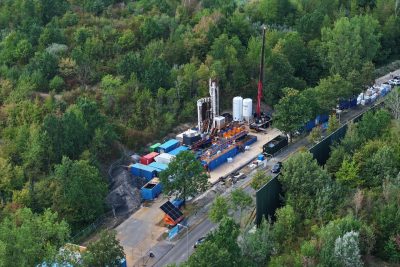
A few months ago, the SCAN program announced the completion of drilling of eight geothermal wells across the Netherlands, allowing the collection of subsurface data and drilling cores to better characterize subsurface conditions and potential geothermal resources.
Source: SCAN Aardwarmte