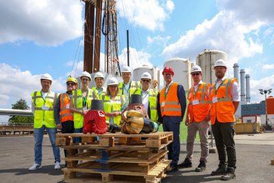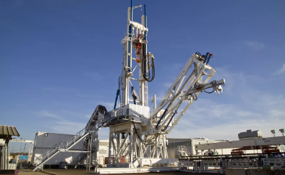
After 7 weeks of interruption due to covid-19, the geothermal project in Satigny, Geneva has restarted drilling activities. The main target of the Lully exploratory drilling corresponds to the Cretaceous and Upper Jurassic limestone layers.
After having crossed more than 800 meters of various geological layers, and having discovered a geological surprise of size in the form of a large thickness of clay and so-called siderolithic sand, drilling resumes on May 4, 2020 to attack the most expected.
Indeed, the Cretaceous and Upper Malm (Jurassic) limestone layers will now be drilled in order to provide precious geological and hydrological information. These layers are among the main targets for the development of medium-depth geothermal energy in Geneva: the expected results will provide essential information such as the possible presence of water, its composition, temperature levels or the nature of the rocks crossed.
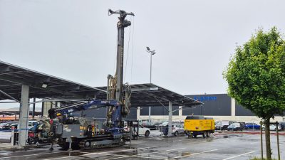
The works will continue until the summer to reach the depth of approximately 1,200 – 1,300 meters and the so-called layers of the reef complex. These are limestone layers that settled in a warm, shallow sea about 140 million years ago and have characteristics that could make them a quality geothermal reservoir.
The purpose of exploratory drilling at Lully is to verify forecasts made from the surface and to control the presence of water and its flow.
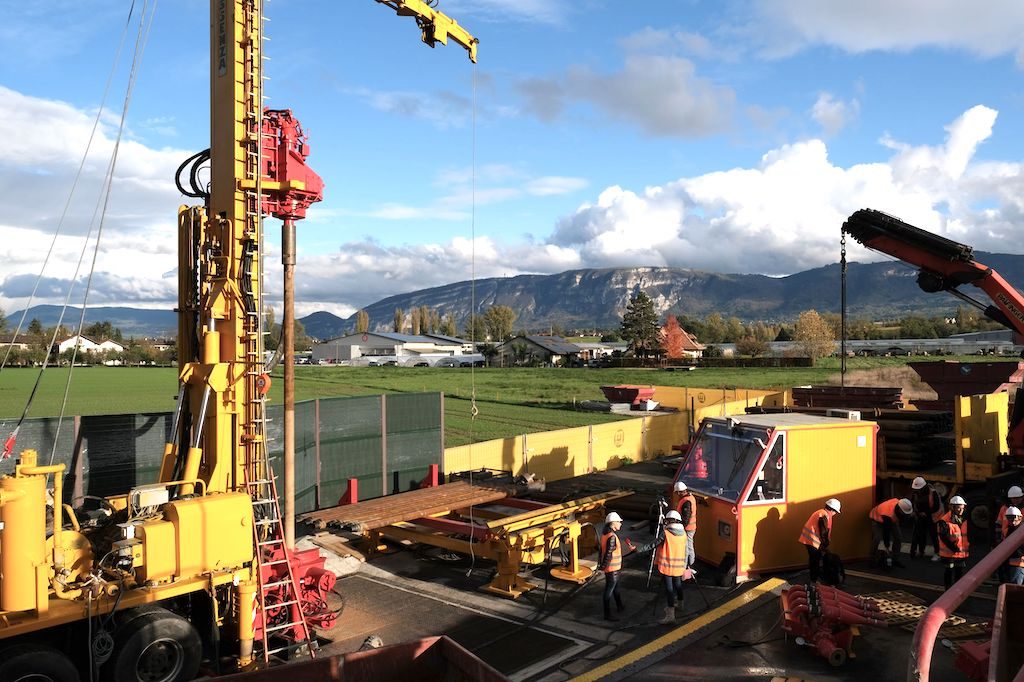
At this medium depth, the water temperature could reach 47 degrees. “The Geneva basement is full of water, but distributed in a heterogeneous manner,” said Nathalie Andenmatten, GEothermie2020 project manager in the canton of Geneva. For the past five years, the State of Geneva and GIS have been carrying out precise mapping of the canton’s subsoil as part of the GEothermie 2020 program. “This mapping, added Nathalie Andenmatten, has made it possible to identify deep geological structures, natural faults in which water is presumed to circulate. But to verify these forecasts, you have to drill. ”
Source: Geothermie 2020, Le Messager