Geoscience Australia has launched a new radiometric map, that will help in the search for radioactive minerals and geothermal prospects in Australia.
The map “stitches together 40 years of information about low-level natural radiation emitted by uranium, thorium and potassium and obtained by aerial surveys. “This is a world first,” federal Resources and Energy Minister Martin Ferguson said.
“This radiometric map will be a powerful addition to information used by companies exploring for energy and mineral commodities. “By collating information into layers and integrating it with other information such as gravity data and surface sampling to provide a complete image of geological features present in the landscape, explorers will be able to better target potential mineralisation and energy sources, including geothermal energy.
“This new radiometric map provides a competitive edge for Australia because it helps to reduce the cost of exploring here. The discovery of significant ore bodies worldwide has been in decline since the Olympic Dam deposit was found here in SA three decades ago.
The map is available free of charge from Geoscience Australia.
It uses different colours coded according to the radioactive emission signature of the different three minerals. Black, such as the Wilpena Pound outcrop, indicates no significant radioactivity.
“…This will facilitate development of the geothermal industry which is baseload energy and goes to energy security of Australia.”
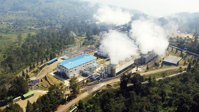
So some positive news for Australian geothermal development helping in the exploration.
The map can be found on the Geoscience Australia website.
Source: AdelaideNow