In collaboration with the Yukon Geological Survey, Innovate Geothermal Ltd. and its principal Jeff Witter performed a multi-component geoscientific investigation in southwestern Yukon (Territory), Canada to initiate the search for subsurface geothermal energy resources that could be used for direct use applications and, possibly, the generation of electricity.
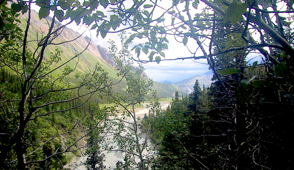
The study area for this project is located near the community of Burwash Landing and straddles the eastern Denali fault zone. The aim of this project is to analyze and interpret a variety of pre-existing and newly-acquired geological and geophysical data sets to identify favourable subsurface targets for a shallow, exploratory geothermal drilling program that could take place in the future.
The geoscience work accomplished here includes both 2D map interpretation as well as construction of a 3D geologic model that was tested by geophysical inversion modelling of gravity and magnetic survey data. In addition, a literature review was conducted to identify analogous geothermal structural environments located in similar crustal-scale transform fault zones for comparison with geothermal systems that may be present in the vicinity of the Denali fault.
Importantly, geophysical data from this study discovered a right-step in the Denali fault that has the appropriate orientation to form a small pull-apart zone in the Earth’s crust within the project area south of Duke River. Such crustal extension may generate fractures and permeability in rocks in the subsurface. Subsurface permeability in geothermal systems provides the pathway for hot geothermal fluids to ascend to drillable depths.
This study has identified seven drilling targets, all located in the vicinity of the previously mentioned right-step in the Denali fault. The 3D geologic model generated for this study was utilized to help understand the lithologic domains and structures likely to be encountered by the proposed exploratory boreholes.
The distribution of temperature in the subsurface, however, remains a significant unknown. Regional-scale, Curie point depth estimates suggest an average geothermal gradient of ~40°C/km near the eastern Denali fault, but drilling is required to measure actual subsurface temperatures. Based upon the encouraging results of this study, it is recommended that at least two of the seven targets are drilled to depths of 500–1000 m to obtain data on subsurface temperatures, fluids and geology.
Authors: Witter, J.B.
The full report and extensive data can be downloaded via the link below.
Source: Yukon Geological Survey