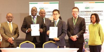
During the recently concluded 6th African Rift Geothermal Conference in Addis Ababa/ Ethiopia, UNEP-ARGeo launched a web based geographic information system of its Africa Geothermal Inventory Database (AGID).
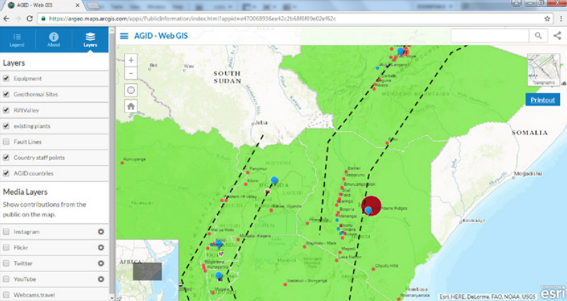
With this web based “AGID – Web GIS”, it is aimed to share geothermal information in the East Africa Rift Region.
The GIS database was launched during the event by Juliette Biao Koudenoukpo – Regional Director, UN Environment, Office for Africa.
The original database was launched two years ago on 29 October 2014 during the 5th African Rift Geothermal Conference (ARGeo-C5) and was up till now consisting of metadata (pdf files, excel sheets etc.) on project sites, organizations involved in the geothermal sector, stakeholders, laboratories, power plants, equipment, manpower, training, reports and member countries.
The enhancement to Web GIS comes now with conversion of these metadata files into a GIS format and uploading them into a GIS server making the data available to multiple users through the internet.
The web database can be visited here, but seems to be behind a login window so far.