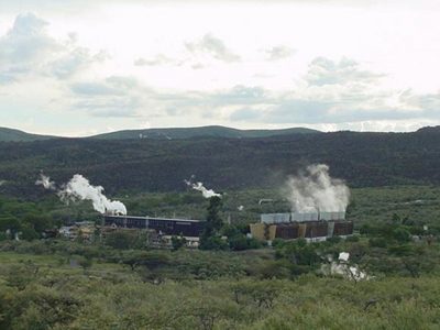
In order to determine the location of future geothermal drilling operations in Mayotte, French geological survey BRGM is launching a major geophysical survey campaign. The objective of the campaign is to model the geothermal reservoir potentially available under Petite-Terre.
Mayotte is an archipelago in the Indian Ocean between Madagascar and the coast of Mozambique. It’s a department and region of France, though traditional Mayotte culture is most closely related to that of the neighboring Comoros islands. The Mayotte archipelago is surrounded by a coral barrier reef, which shelters a lagoon and marine reserve that are popular diving destinations. In Comoros Islands there are also efforts on geothermal exploration, we reported.
In order to move towards the provision of self-sufficient electricity production in the département of Mayotte, BRGM has been conducting a programme to explore the island’s deep geothermal potential since 2005, . In this context, BRGM has begun a geophysical survey campaign that will last several weeks. This will be coupled with geological field studies to produce a conceptual model of the geothermal reservoir potentially available under Petite-Terre.
Geophysical campaign to determine the location of future deep geothermal drilling operations
The last study, carried out in 2019, confirmed that Petite-Terre has great potential. To determine the most suitable locations for exploration drilling – a prerequisite for the development of operations for electricity production – images of the subsurface structure and the geothermal fluids potentially available at a depth of up to 2000 metres need to be obtained.
In the coming weeks, BRGM will thus be carrying out “geophysical” measurements. Similar to the result of a medical ultrasound scan, these techniques produce a 3D image of what lies below the surface, using a network of electromagnetic sensors located on the ground. Some of these sensors will record the natural electromagnetic signal on land and at sea, while others will record the signal emitted through the subsurface by generators deliberately placed around the area of interest. The measurements will be carried out in July.
Additional geological studies to better understand the geothermal potential
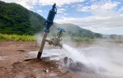
At the same time, in order to describe and map the system of natural fractures in which geothermal fluids circulate, BRGM geologists will seek to supplement the information already available with a detailed study of Mayotte’s rock fracture patterns. Furthermore, by analysing the types of gases present in the subsurface, BRGM hopes to obtain an indication of temperatures in the geothermal reservoir, as these constitute essential data for converting this heat into electricity one day.
A conceptual model of the geothermal reservoir potentially available under Petite-Terre
Once all this information has been obtained and analysed, BRGM scientists will input it into modelling software to first produce a geometric model of the subsurface structure, and then a dynamic model of deep fluid circulation to identify the areas most suitable for future exploration drilling.
This work is supported by the Departmental Council of Mayotte, with co-financing from ADEME, AFD and BRGM.
Further details in French via Le Journal de Mayotte (in French).