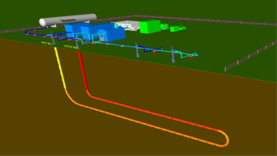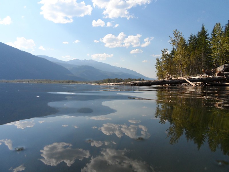
A study by Geoscience BC has identified the most viable area for development in the Kootenay Lake geothermal project in British Columbia, Canada.
Following fieldwork in summer 2022, and laboratory analysis funded by Geoscience BC, researchers examined geological, geochemical and geospatial data to help ascertain geothermal potential and to identify target areas for test drilling as part of a potential future phase of research. The results bring scientific back-up to previously held views that the area east of Kootenay Lake may be a potential geothermal resource.
The area is associated with hot springs, and deep-seated faults that may bring geothermal fluids up from deep below the surface. The area around these features were the focus of this study, with bedrock structures measured, surface waters sampled, and drone-based remote sensing conducted.

Results have identified the Crawford Creek hot spring and valley, adjacent to the Orebin Creek Fault, as the most viable area for further study to model potential flow rates of the subsurface geothermal reservoir.
By sharing this information with industry, regulators, communities in the Kootenay Lake area and Indigenous groups, it can be used toward advancing a potential local, clean source of heat or energy.
Geoscience BC Manager, Energy and Water, Randy Hughes said: “Analyzing the data acquired by fieldwork and the Geoscience BC funded laboratory analysis was an essential step toward developing a geothermal model for the area. Only through this research can areas be effectively prioritized.”
The project was also funded by the Regional District of Central Kootenay, Colleges and Institutes Canada and Natural Sciences and Engineering Research Council of Canada – NSERC.
Geoscience BC is also working on a geothermal assessment project in Mount Meager and Mount Cayley, part of the Garibaldi Volcanic Belt. In 2022, we reported on field studies and a planned geophysical survey in Mount Cayley.
Accessing information
To view the reports and maps, visit the project page or view the information on Geoscience BC’s Earth Science Viewer online mapping application.
Source: Email correspondence