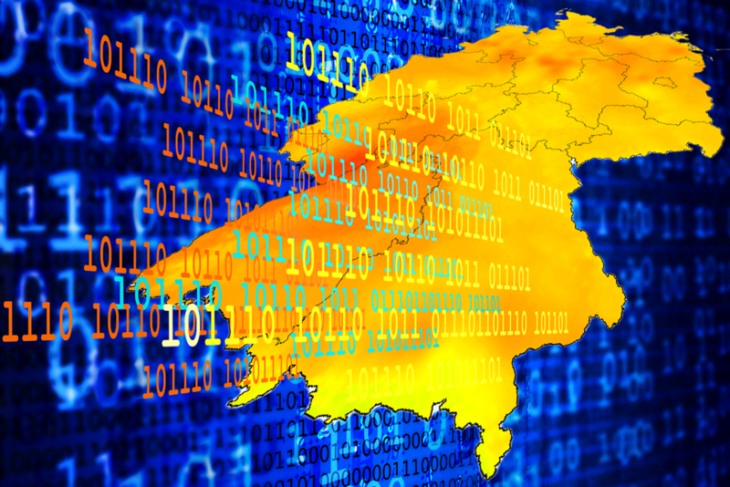
The Leibniz Institute for Applied Geophysics (LIAG) is leading the WärmeGut research project – a nationwide standardized information system for near-surface geothermal energy in Germany. This will be an extension of the GeotIS, an established geothermal information system that has been maintained by LIAG since 2006.
LIAG is working on the WärmeGut project with the Federal Institute for Geosciences and Natural Resources (BGR) in Hanover, the University of Göttingen (GAUG) and geoENERGIE Konzept GmbH from Freiberg. The project is being funded by Germany’s Federal Ministry of Economics and Climate Protection (BMWK).
A few weeks ago, the BMWK published a key issues paper outlining the strategies for developing medium-depth and deep geothermal projects in Germany towards a goal of 100 new projects by 2030. One of the measures identified to help meet this objective was to launch a nationwide database with accessible and processed information on local geothermal potential. This is exactly what the WärmeGut project seeks to address.
Since 2006, LIAG’s established geothermal information system GeotIS has been geoscientifically processing and digitizing data from deep geothermal energy and making it freely accessible on the internet in the interactive 3D information portal. As the data is being used regularly in research and by the industry, the institute has been constantly developing the portal.
The portal is now being expanded to include new underground data for all depth ranges of geothermal energy. Surface data on heat demand are also implemented, so that for the first time a socio-economic analysis can be linked to a geophysical-geological analysis to determine the geothermal potential.

“In order to clearly illustrate the potential of near-surface geothermal energy for heat supply in Germany, complex data from the geological subsoil must be analyzed, processed in an interdisciplinary manner and made easily accessible for all user groups,” explains Prof. Dr. Inga Moeck, head of the project WärmeGut and professor of applied geothermal geohydraulics at GAUG. “It is important that very different disciplines work together, such as geosciences with economics, but also with the specialist authorities.”
The State Geological Surveys of the States (SGDs) have the highest level of competence in the field of ?near-surface geothermal energy, but have different resources and data provision systems. Together with these SGDs, concepts for supra-regional data provision and IT system components are developed in a consultation process and data gaps are closed through extensive data processing and digitization in order to provide nationwide uniform traffic light maps and 3D temperature models for near-surface geothermal energy in GeotIS. This makes it easier to identify locations that are particularly suitable on a regional scale, but also locations that are unsuitable for the use of geothermal energy.
Source: LIAG